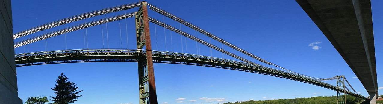

3D Laser scanning services & As-Buit Surveys
We rebuild the geometry of elements and infrastructures using 3D laser scanner technology
Full buildings scan and drawing up plans
With 3D laser scanner we make the precise registration of all facilities and assets that will be used for mapping, as well as for the lifting of plans or updating existing ones. We use the market design tools Autodesk Revit, Autocad, Graphisoft Archicad, Navisworks, SolidWorks, and others, with significant time and cost savings. Once the three-dimensional plane survey has been carried out, we can offer the 3D modeling of the scanned spaces for the creation of a BIM Model (Building Information Modeling).
When faced with the task of creating plans for an existing structure we know how difficult it can be. It is rare for buildings to have a simple form. Using a distance meter or measuring tape is a tedious and difficult job, which then has to translate into specifications on plans and trust that no mistakes were made or features were omitted.
3D Laser scanning
In these cases it is better to consider the alternative of 3D laser scanning. A long-range 3D scanner can capture complete environments in minutes with the press of a button. With each scan, save a cloud of color points with an accuracy of 3 mm or less. With enough scans, you can capture a complete installation (e.g. a house) before the end of the day.
Creation of plans, plan views, elevations and sections from a laser scanning project
With a 3D laser scanning project, 2D planes can be created in two ways:
-
Extract 2D orthoimages or scan cuts for direct viewing and redraw over the scan sections to obtain standard 2D DXF / DWG line drawings.
-
Generate standard drawings of BIM software such as Revit after creating the 3D CAD model.
It is a frequent occurrence that the majority of architectural construction plans are flawed and lacking in completeness. In cases where renovations are predicated on outdated or deficient plans, these deficiencies are transmitted to the new design. These flaws typically remain latent until the construction phase, at which point their rectification incurs substantial costs.
The optimal approach to preclude such unexpected issues entails conducting an As-Built laser scanning to comprehensively capture precise spatial information for the intended renovation area. This entails scanning all relevant sections of the building implicated in the project, followed by the compilation or integration of the acquired data into a point cloud.
In instances where extant plans are available, alignment of the point cloud with the coordinate system of the planes is imperative, facilitating a comparison between the captured data and the existing plans.
Conversely, in cases where no plans exist, the scan data can serve as a foundational "template" for generating new documentation. The point cloud can be dissected horizontally to expose a plan view, enabling the creation of accurate floor plans, or vertically to expose elevation views or sections for plotting purposes.

Our Scan to BIM process uses the 3D laser scanner to accurately capture existing conditions. The scanned data is imported into a BIM modeling environment where the "As-built" models are created, which can be Autodesk Revit, Graphisoft Archicad, Navisworks, or others.
This process consists of 3 main phases:
-
Capture of information by 3D laser scanner: It is done on site with the scanner where the equipment analyzes by means of a laser beam the distance to the elements that surround it. This results in the recording of a large number of points that are located relative to the scanner on the X, Y and Z axes. The set of scans from different locations will allow to elaborate a "cloud of points" of the entire project.
-
Data processing: It is done to treat the information in order to combine them and be able to work with them in the most optimized way possible. For this you can use specialized software such as Faro Scene, Leica Cyclon, Autodesk Recap or another of the market. In data processing, you must keep in mind both the use that will be given to the point cloud, as well as the technology available to work with the cloud.
-
BIM modeling: Which will be conditioned in large part by the BIM use we give to the model and modeling software. From the point cloud, the geometry of the "As-built" model will be generated in the chosen tool (Autodesk Revit, Graphisoft Archicad, others). To this model is that we will enrich with the characteristics and attributes of all the information received (both physical, as the cloud of points; as complementary, such as brands and models of the equipment or photos and videos that give us visual information of the project). Finally, it must be duly incorporated into the final product, as well as correctly organized and structured, so that it is easily readable from any other BIM (Building Information Modeling) software.
Benefits of High Definition 3D Laser Scanning for Entire Buildings
3D laser scanning technology has several benefits over traditional methods, which the construction industry can take advantage of:
-
3D laser scanners capture spatial data from the scanned structure with maximum precision.
-
It makes it easier for architects and engineers to better plan and design the construction project.
-
The process of laser scanning and generation of point clouds allows to capture geometries from a safe place, eliminating the need to access risk areas to take action.
-
Point cloud data provides the information as it is of the construction project for facility management operations and maintenance without project complications.
-
3D laser scanning provides the data needed for the renovation and modernization of structures.
-
Data capture by 3D laser scanning is faster than traditional methods, with the highest accuracy, providing the results in shorter timeframes.
-
It helps construction owners save the total cost of the construction project.
-
The detailed 3D model of the structure developed by scanning the point cloud facilitates a workflow optimized for construction activities.


Laser scanning of entire buildings has a significant impact on remodeling projects. Here are some ways you can positively affect the remodeling process:
-
Accurate Documentation: Laser scanning accurately captures the geometry and features of the existing building. This provides detailed and accurate documentation that can be used as a basis for planning and designing the remodel. Errors and omissions in existing documentation are greatly reduced, avoiding problems during the construction phase.
-
Precise and detailed design: With the three-dimensional model generated from laser scanning, designers can work with an exceptional level of detail. They can visualize and analyze the existing structure, identify problematic elements, evaluate the feasibility of proposed modifications and make precise changes to the design. This allows for a more efficient design process and reduces the need for modifications during construction.
-
Conflict Detection: The BIM model created from laser scanning allows early detection of conflicts between the proposed design and the existing structure. Designers can identify potential problems, such as interference with existing elements, before they actually occur. This reduces costly errors and saves time during the construction phase.
-
Measurement Accuracy: Laser scanning provides precise measurements of existing building geometry. This is especially useful in remodeling projects that require the integration of new elements or the modification of existing elements. Precise laser scanning data allows new items to fit seamlessly into existing surroundings, avoiding fit or compatibility issues.
-
Efficiency in cost and materials planning: With an accurate BIM model generated from laser scanning, more precise planning of the costs and materials required for the remodel is possible. Accurate measurements of areas, volumes and quantities of materials can be taken, allowing for more accurate cost estimation. This reduces unexpected costs and material waste.
Overall, whole building laser scanning for BIM in retrofit projects provides a solid and accurate foundation for design and planning. It allows for greater efficiency, reduced errors and more informed decision making, resulting in a smoother and more successful remodeling process.


